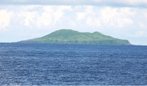
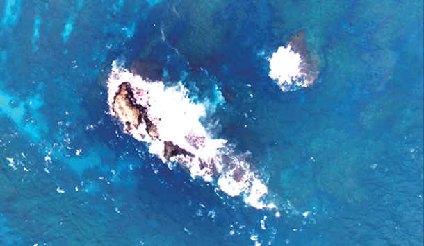
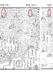
Also known as Diaoyu-Tai, Diaoyu-Yu, and Diaoyu-Shan, Diaoyu Dao is located at 25°44.6′N and 123°28.4′E. It is 3,641 meters long and 1,905 meters wide, with a total area of 3.91 square kilometers. Reaching 362 meters above sea level, it is flat on the north side and rises steeply towards the southeast. Its jagged eastern reefs resemble spires. Its peaks run east to west.
Dubbed “island of flowers and birds,” Diaoyu Dao is rich in foliage, such as camellia, palms, cactus...
More>>
Covering an area of 0.91 square kilometers, 1,293 by 1,102 meters, Huangwei Yu is located at 25°55.4′N and 123°40.9′E, 27 kilometers southeast of Diaoyu Dao. It is the second largest island in the area, rising 117 meters above sea level. A round, extinct volcano with a crater, it is taller at the center and surrounded by sheer cliffs in the east with magnificent vertical-fissure rocks. With palm trees and bushes covering its huge volcanic formations, it has been dubbed “Bird Island”...
More>>
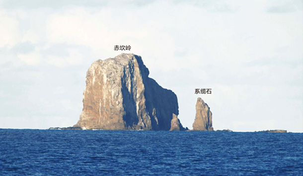
Located at 25°55.3′N and 124°33.5′N at the easternmost tip of Diaoyu Dao and its affiliated islets, Chiwei Yu is shaped like a scalene triangle, 110 kilometers from Diaoyu Dao. Covering an area of 0.065 square kilometers, 484 by 194 meters, it reaches up like a spire, 75 meters above sea level, with a bedrock coast, steep cliffs, and reefs mostly found to the north and west.
The Chinese government has announced standard names for the Chiwei Yu and its one peak...
More>>
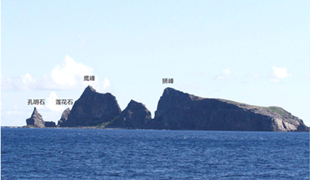
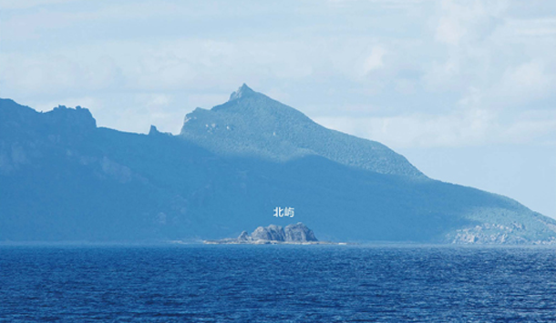
Beixiao Dao is located at 25°43.8′N and 123°32.5E, 5 kilometers east of Diaoyu Dao. Covering an area of 0.33 square kilometers, 1,030 by 583 meters, it reaches 125 meters above sea level in the shape of a parallelogram, stretching from southeast to northwest.
The Chinese government has announced standard names for Beixiao Dao and its two peaks and three surrounding islets.
More>>
Nanxiao Dao is located at 25°43.4′N and 123°33.0′E, to the southeast of Beixiao Dao and 5.5 kilometers from Diaoyu Dao. Reaching an elevation of 139 meters, it covers an area of 0.45 square kilometers, 1.147 by 590 meters. Oval shaped, it rises steeply on its southeastern slope, with a plateau across the center. It has been dubbed “Snake Island” for its numerous snakes.
The Chinese government has announced standard names for Nanxiao Dao...
More>>
Bei Yu is located at 25°46.9′N and 123°32.6′E, six kilometers northeast of Diaoyu Dao. It covers an area of 0.02 square kilometers, 193 by 142 meters. With an elevation of 24 meters, it is triangular, with a flat area in the west.
The Chinese government has announced standard names for Bei Yu and its four surrounding islets.
More>>
Nan Yu is located at 25°45.3′N and 123°34.0′E, 7.4 kilometers northeast of Diaoyu Dao. It covers an area of 0.007 square kilometers, 170 by 75 meters, with an elevation of 4.8 meters, in the shape of a crescent moon. No vegetation is found on the islet.
The Chinese government has announced standard name for Nan Yu.
More>>
Fei Yu is located at 25°44.1′N and 123°30.4′E, 1.5 kilometers southeast of Diaoyu Dao. It covers an area of 0.001 square kilometers, 63 by 33 meters, with an elevation of 2 meters. Shaped like a shrimp tail, it features sheer cliffs on the southwest. No vegetation is found on the Island.
The Chinese government has announced standard names for Fei Yu and Feizai Yu.
More>>

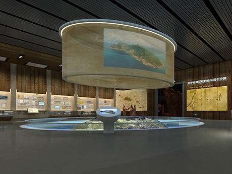
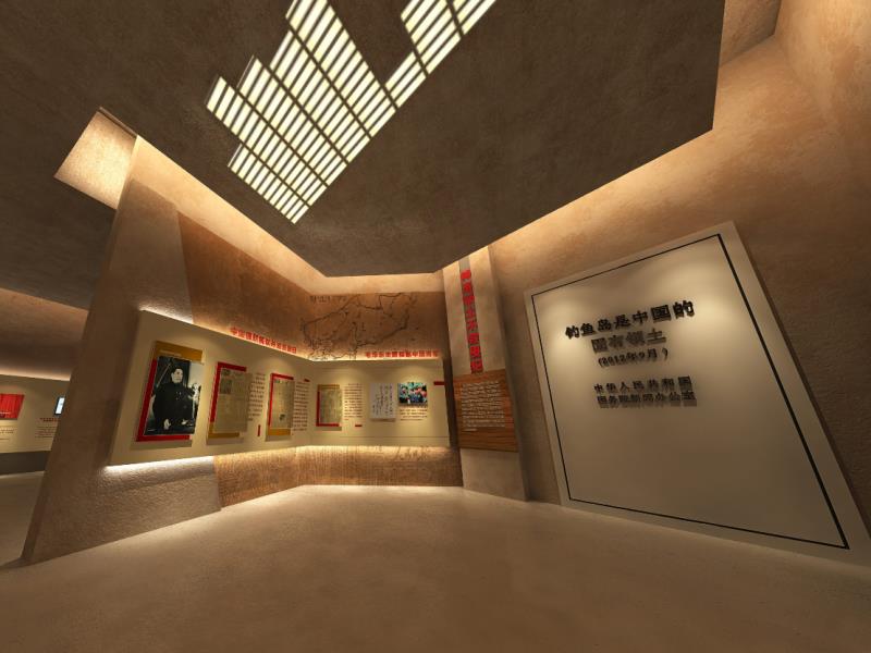
DiaoYu Dao Museum Of China consists of preface hall and three exhibition halls. The museum exhibits include historical pictures, videos, historical literatures, legal documents, physical simulations, models, animation stories, news reports, publications and essays, etc., and have interactive sessions such as narrators and curator questions and answers.


Basic Facts on Diaoyu Dao

Important Historical Records

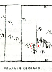
Historical Evidence

1403

1534

1556

1561

1561

1579

1606

1663

1683

1718

1800

1808

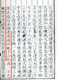
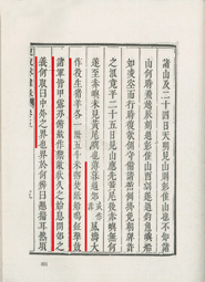
Voyage with a Tail Wind (Shun Feng Xiang Song)

Written in the early Ming Dynasty, the book Voyage with a Tail Wind (Shun Feng Xiang Song) recorded Diaoyu Dao explicitly. From 1403 to 1424, ba... More>>

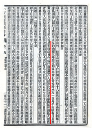
Records of the Imperial Title-Conferring Envoys to Ryukyu (Shi Liu Qiu Lu)

In 1534 (13th year of Emperor Jiajing’s reign of the Ming Dynasty), Chen Kan, an imperial title-conferring envoy from the Ming court to Ryukyu, ... More>>

A Mirror of Japan (Ri Ben Yi Jian)

In 1556 (the 35th year of the reign of Emperor Jiajing of the Ming Dynasty), Zheng Shungong wrote A Mirror of Japan (Ri Ben Yi Jian) after being... More>>

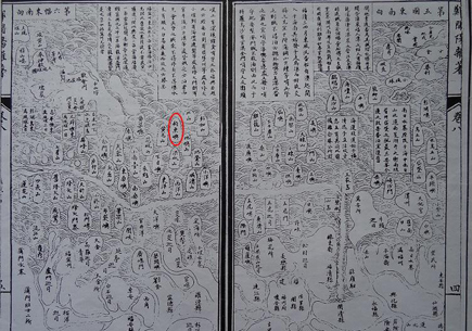
An Illustrated Compendium on Maritime Security (Chou Hai Tu Bian)

An Illustrated Compendium on Maritime Security (Chou Hai Tu Bian) compiled by geographer Zheng Ruozeng under the auspices of Hu Zongxian, Suprem... More>>

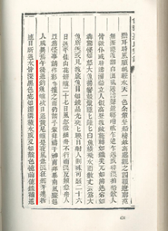
Records of the Imperial Title-Conferring Envoys to Ryukyu (Shi Liu Qiu Lu)

In 1561 (the 40th year of Emperor Jiajing’s reign of the Ming Dynasty), Guo Rulin, an imperial title-conferring envoy from the Ming court to Ryu... More>>

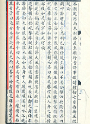
Records of the Imperial Title-Conferring Envoys to Ryukyu (Shi Liu Qiu Lu)

In 1579 (the 7th year of the reign of Emperor Wanli of the Ming Dynasty), Xiao Chongye, an imperial title-conferring envoy from the Ming court t... More>>

Records of the Imperial Title-Conferring Envoys to Ryukyu (Shi Liu Qiu Lu)

In 1606 (the 34th year of the reign of Emperor Wanli of the Ming Dynasty), Xia Ziyang, an imperial title-conferring envoy from the Ming court, w... More>>

Records of the Imperial Title-Conferring Envoys to Ryukyu (Shi Liu Qiu Ji)

In 1663 (the 2nd year of the reign of Emperor Kangxi of the Qing Dynasty), Zhang Xueli was sent to Ryukyu as an imperial title-conferring envoy ... More>>

Miscellaneous Records of a Mission to Ryukyu (Shi Liu Qiu Za Lu)

In 1683 (the 22nd year of the reign of Emperor Kangxi of the Qing Dynasty ), serving as a historian at Hanlin Imperial Academy, Wang Ji was sent... More>>

Records of Messages from Chong-shan (Zhong Shan Chuan Xin Lu)

In 1718 (the 57th year of the reign of Emperor Kangxi of the Qing Dynasty), Xu Baoguang, a deputy title-conferring envoy, was sent to Ryukyu by ... More>>

Records of the Imperial Title-Conferring Envoys to Ryukyu (Shi Liu Qiu Ji)

In 1800 (the 5th year of the reign of Emperor Jiaqing of the Qing Dynasty), Li Dingyuan, an officer in the Qing court, was sent to Ryukyu as a d... More>>

Added Annals of Ryukyu

In 1808 (the 13th year of the reign of Emperor Jiaqing of the Qing Dynasty), Qi Kun, an imperial title-conferring envoy and Fei Xizhang, Qi’s de... More>>

Evidence of Maps

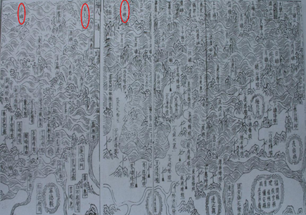
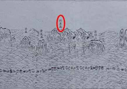
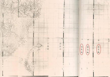
Map of Coastal Defense Stretching Thousands of Miles (Wan Li Hai Fang Tu) (segment)

This map was drawn in 1561 (the 40th year of the reign of Emperor Jiajing of the Ming Dynasty) and was coll... More>>

Map of Fujian’s Coastal Mountains and Sands (Fu Jian Yan Hai Shan Sha Tu)

In 1562 (the 41st year of the reign of Emperor Jiajing of the Ming Dynasty), the map was drawn and printed ... More>>

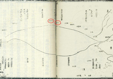
The Roadmap to Ryukyu (Liu Qiu Guo Hai Tu)

This map appeared in Records of the Imperial Title-Conferring Envoys to Ryukyu (Shi Liu Qiu Lu) written by ... More>>

Navigation Map (Zhen Lu Tu)

The map was included in Records of Messages from Chong-shan (Zhong Shan Chuan Xin Lu), a book by Xu Baoguan... More>>

Navigation Map (Zhen Lu Tu)

This map was part of the Annals of Ryukyu (Liu Qiu Guo Zhi Lue) by Zhou Huang, a deputy imperial envoy in 1... More>>

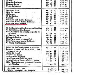
Map of Navigation

Portugal’s “Map of Navigation” in 1762 included Diaoyu Dao, Taiwan, Zhangzhou and Ningbo (coastal cities of... More>>

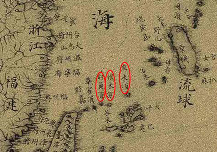
Great Universal Geographic Map (Kun Yu Quan Tu)

Michael Benoist, a French Jesuit, was commissioned by the Qing court to create “Great Universal Geographic ... More>>

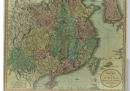
A New Map of China

An official map commissioned by the UK government, “A New Map of China” was drawn by John Cary in 1801. Joh... More>>

Sailing Pilot of East India, China and the Oceanic Continent

“Coast Pilot of East India, China and the Oceanic Continent” was published in 1816 in London, and recorded ... More>>

Atlas of the Great Qing Dynasty (Huang Chao Zhong Wai Yi Tong Yu Di Zong Tu)

“Atlas of the Great Qing Dynasty” (Huang Chao Zhong Wai Yi Tong Yu Di Zong Tu) was compiled under commissio... More>>

Complete Graph of Okinawa Prefecture

This map was published in 1895, explicitly defining the geographical range and islands affiliated to Okinaw... More>>